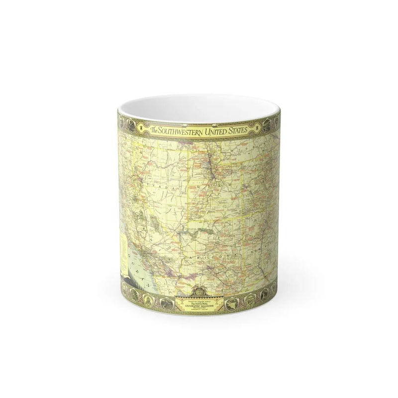
USA - Southwestern (1940) (Map)The USA - Southwestern map from 1940 is a cartographic representation of the southwestern United States during that year. This historical map covers an area extending from Texas, through the states of Oklahoma, New Mexico, Arizona, and California, to parts of Nevada, Colorado, and Utah. It provides details on geographical features such as mountains, rivers, and bodies of water, along with political boundaries and major cities in the region at that time. The map serves as a valuable resource for understanding the spatial layout and historical context of the southwestern United States during the early 20th century.
Express delivery and return policies
Free shipping on orders over $30
Processing time: 1-2 Days
Shipping time: 3-5 Days(According to the logistics method and delivery address)
Items can be returned or exchanged within 30 days !


![Tin Street Gossip [235] [Murders at Karlov Manor] [Non-Foil]](https://img.tplendentdesigns.shop/67/4157/2025051219/tin-street-gossip-235-murders-at-karlov-manor-non-foil.webp)